


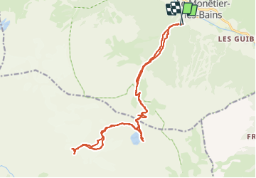

9.4 km | 27 km-effort


User


FREE GPS app for hiking
 SityTrail
IGN / Geographical institutes
SityTrail World
The world is yours!
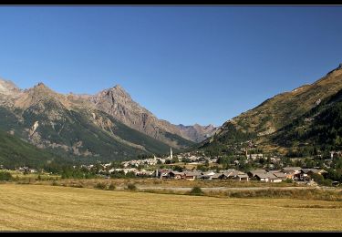
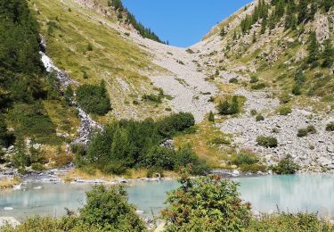
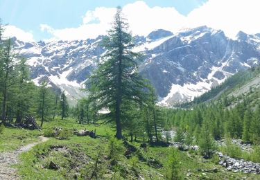
Trail Walking of 24 km to be discovered at Provence-Alpes-Côte d'Azur, Hautes-Alpes, Le Monêtier-les-Bains. This trail is proposed by fguimbal.
pic du Rif depuis Monetier par le lac de l'Eychauda

Touring skiing

Walking

Walking
Nordic walking
Walking
Walking
Walking
Walking
Walking